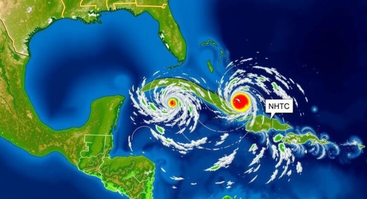
The NHC is monitoring two disturbances, one being Subtropical Storm Patty off the Azores, with an 80% chance of tropical depression development in the Caribbean. Current models suggest low risk for Texas. Patty’s winds are sustained at 65 mph, with gradual weakening expected. October typically sees a shift in tropical activity closer to the U.S., increasing the importance of vigilance as the hurricane season progresses.
The National Hurricane Center (NHC) is actively monitoring two disturbances as Subtropical Storm Patty has developed in the Atlantic Ocean, approximately 300 miles west-northwest of the Azores. Present conditions suggest an 80% probability of another tropical depression forming next week due to a low-pressure system brewing in the southwestern Caribbean Sea. This system is expected to gradually organize and could pose a risk for the Greater Antilles and southwestern Gulf of Mexico. Forecasters remain guarded, emphasizing that while the potential for a storm exists, significant impacts on Texas are unlikely at this time. Ryan Truchalat, a forecaster and meteorologist, indicated, “Most reliable guidance suggests that the western flank of the steering high pressure will still extend over the Gulf, keeping a potential storm moving west or northwestward into the southwestern Gulf of Mexico.” Furthermore, despite the current formation of Subtropical Storm Patty, which has sustained winds of 65 mph and is moving east-southeast, it is not projected to affect Texas directly, with near-term hazards localized mainly to the Azores. As of early November, the storm’s maximum intensity is anticipated to diminish over the forthcoming days. In contrast, a system emerging from the southwestern Caribbean possesses a high potential for development, with a 70% chance of forming into a depression within 48 hours. “As we move into early November, the focus for tropical development shifts closer to the United States, with increased activity typically seen near the Caribbean and southeastern U.S. coasts,” noted meteorologist DaSilva. There is currently no immediate threat to Texas from these systems, but residents are advised to stay informed about updates regarding developments in the Atlantic, as the month of November historically does convey an increased likelihood for unusual hurricane activity. Thus, while tropical disturbances are prevalent, the immediate focus should be on monitoring conditions developing in the Caribbean. Key to remaining prepared, Texans are encouraged to utilize weather alerts and resources to track these systems.
The period of early November signifies a transition in the Atlantic hurricane season, where tropical activity typically shifts focus closer to the United States, particularly impacting areas like the Caribbean Sea and Florida. The NHC’s tracking of disturbances and the formation of storms like Subtropical Storm Patty serves to inform both meteorologists and the public. Traditionally, November has witnessed minimal hurricane strikes; only four hurricanes have made landfall on the U.S. coast since 1851. Current weather conditions, characterized by warm ocean waters and low disruptive wind shear, make it conducive for tropical formations to occur. Thus, monitoring these disturbances is critical for minimizing risk and maintaining public safety.
In summary, the National Hurricane Center’s current observations indicate two tropical disturbances, with Subtropical Storm Patty located far from Texas. While a tropical depression is expected to develop in the Caribbean, there remain no immediate threats to Texas, although precautions should be taken to stay updated. The historic context of November hurricanes adds to the importance of vigilance as this month progresses and could reveal increased tropical activity that requires attention from residents and local officials alike.
Original Source: www.statesman.com


