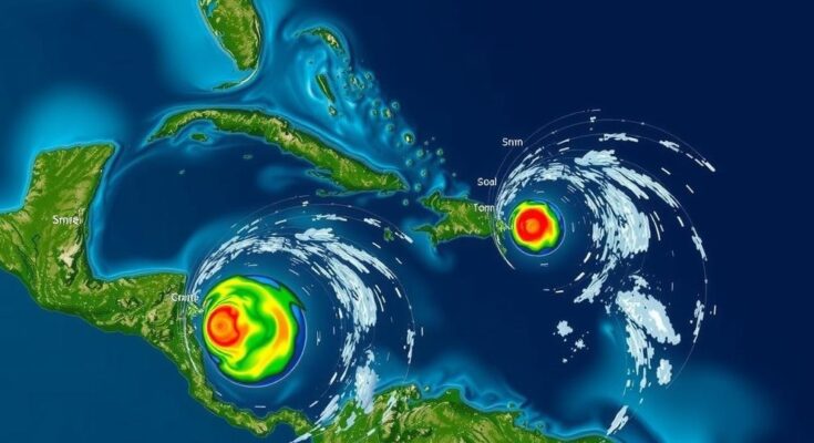
The National Hurricane Center has flagged three areas in the Caribbean and Atlantic for potential tropical storm development, particularly in the southwestern Caribbean with a 30% chance over the next two days, rising to 70% within a week. A merging system near Puerto Rico could lead to substantial rainfall across the northern Leeward Islands and surrounding areas. Forecasters indicate that any resultant storm may encounter challenges as it enters the Gulf of Mexico, suggesting minor impacts for Florida.
The National Hurricane Center (NHC) has identified three areas in the Caribbean and Atlantic with the potential for tropical storm development. A particular focus is on a region in the southwestern Caribbean, which currently holds a 30 percent chance of evolving into a tropical storm named Patty within the next two days, with predictions suggesting a 70 percent likelihood over the coming week. Meteorologists anticipate that this system may become a tropical depression or storm by late this weekend or early next week as it heads north or northwest towards the central or western Caribbean. A high-pressure system moving in from the Atlantic could facilitate the northwestward trajectory of this potential storm towards the Gulf of Mexico. Forecasters indicated that the system is likely to merge with another low-pressure area near Puerto Rico, which is generating widespread showers and thunderstorms across parts of the Greater Antilles. As this new system traverses west-northwest near the Greater Antilles, there is a possibility of its gradual development over the forthcoming days. Regardless of its classification, projected rainfall from this system may result in substantial precipitation across the northern Leeward Islands, Puerto Rico, Hispaniola, eastern Cuba, and the southeastern Bahamas. Meteorologists have acknowledged the complexities surrounding this situation. Dave Osterberg, a meteorologist for FOX 13, explained the scenario’s intricacies: “It’s a complicated set-up with lots of features to monitor…” Additionally, he noted that the warm waters of the Caribbean may ease tropical development, but cooler waters in the Gulf may pose limitations. Denis Phillips, chief meteorologist for ABC Action News, remarked on the storm’s potential, cautioning that smaller storms tend to both intensify and weaken more rapidly. The projections indicate that any resultant storm might encounter difficulties upon entering the Gulf due to lower heat content, high wind shear, and dry air conditions. Phillips emphasized, “…we probably see Patty within a week, the threat is much lower with this than previous storms.” Overall, forecasters assert that this system is unlikely to pose a significant risk to Florida, as prevailing high-pressure systems will likely steer the storm westward—potentially affecting the northern Gulf Coast later next week or during the upcoming weekend. Meanwhile, another non-tropical low-pressure area has emerged in the north Atlantic, which has a 10 percent chance of subtropical development as it moves eastward.
With the Atlantic hurricane season underway, meteorologists constantly monitor various weather systems for their development potential. The National Hurricane Center plays a crucial role in tracking these systems, assessing their capacity to transform into tropical storms or hurricanes. Understanding the atmospheric conditions, such as high and low-pressure systems, sea surface temperatures, and wind patterns, is vital for predicting storm paths and intensities. The context of tropical storm formation in the Caribbean and the surrounding regions is essential for coastal preparedness and forecasting accurate warnings to minimize potential impacts.
In conclusion, the National Hurricane Center has identified significant potential for tropical system development in the Caribbean, particularly concerning a system that may evolve into the next named storm, Patty. While there is a notable chance for development, forecasters suggest that the risks to Florida remain minimal due to expected atmospheric patterns. The changing environmental conditions will dictate the systems’ longevity and strength, underscoring the importance of continuous observation and forecast adjustments as the situation progresses.
Original Source: patch.com


