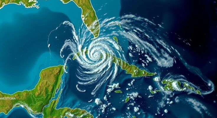
The National Hurricane Center is tracking three disturbances that could develop into tropical cyclones, with one likely forming in the Gulf of Mexico next week. A 60% chance of tropical cyclone formation exists, with warnings for heavy rains in the Caribbean. The NHC is also monitoring systems affecting Puerto Rico and the Greater Antilles, and a non-tropical system near the Azores.
The National Hurricane Center (NHC) is currently monitoring a trio of potential storm systems that may evolve into tropical or subtropical cyclones in the coming days. Notably, one disturbance is expected to develop into a tropical system within the Gulf of Mexico over the next week. The NHC reported this morning that a broad area of low pressure is anticipated to emerge over the southwestern Caribbean Sea shortly. This system may steadily progress toward development, with the possibility of forming a tropical depression by late this weekend or early next week, as it drifts northward or northwestward across the central or western Caribbean Sea. “Regardless of development, locally heavy rains are possible over portions of the adjacent land areas of the western Caribbean,” the NHC cautioned. They have assessed a 60% chance of tropical cyclone formation occurring within the next seven days. Furthermore, global computer models are increasingly converging on the likelihood of this disturbance moving into the Gulf of Mexico next week, where it could potentially develop into a tropical storm or stronger system. Precautionary measures are advised for residents along the U.S. Gulf Coast, as the hurricane season remains active until the end of the month. The NHC is also keeping a close watch on the northeastern Caribbean Sea and the Greater Antilles. Observations and satellite data have indicated that a trough of low pressure near Puerto Rico is responsible for widespread cloudiness and showers affecting the Dominican Republic, Puerto Rico, the Virgin Islands, and the surrounding Atlantic and northeastern Caribbean waters. This system may see slow development during the upcoming 2 to 3 days as it moves west-northwestward near the Greater Antilles; eventually, it is expected to merge with the existing low pressure area in the Caribbean. Regardless of its development, heavy rainfall is forecasted over the next several days across the northern Leeward Islands, Puerto Rico, Hispaniola, eastern Cuba, and the southeastern Bahamas. Lastly, the NHC is observing a non-tropical low-pressure area situated approximately 450 miles west of the Azores. This storm-force system is generating limited shower activity, and while some subtropical development is possible as it continues to move eastward over the coming days, the NHC estimates only a 20% chance of it evolving into a subtropical storm within the next week.
The National Hurricane Center plays a critical role in monitoring and forecasting tropical disturbances, particularly during hurricane season. This crucial period lasts from June 1 to November 30 annually. The NHC utilizes numerous data sources, including satellite imagery and surface observations, to track disturbances and predict their potential to develop into cyclones. Understanding the dynamics of such systems is vital for public safety, particularly in coastal areas prone to hurricane impacts. Tropical and subtropical cyclones can cause extensive damage through wind, rain, and storm surges, thus necessitating accurate forecasting and timely warnings.
As the National Hurricane Center closely monitors a potentially impactful trio of disturbances, it is essential for residents along the Gulf Coast and in the Caribbean to stay informed and prepared. The possibility of tropical development poses risks, including heavy rainfall and flooding. It is advisable to heed all warnings and stay updated through reliable meteorological channels as the situation evolves. While one system is likely to move into the Gulf of Mexico, others may also pose considerable threats in the days ahead.
Original Source: weatherboy.com


