Forecasters are tracking three areas of potential tropical development this weekend, particularly in the Caribbean, where a tropical depression may form. Heavy rainfall is anticipated across several regions, while the North Atlantic system shows low chances for development. The hurricane season officially ends on November 30.
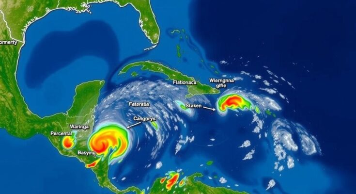
This weekend may witness the formation of a tropical depression, as forecasters monitor three significant areas of interest for potential tropical development—one in the North Atlantic and two in the Caribbean, the latter being particularly pertinent for the Southwest Florida region. 1. Southwestern Caribbean Sea: A broad low-pressure area is anticipated to develop in the southwestern Caribbean over the next couple of days, with a gradual increase in strength likely thereafter. A tropical depression could emerge either this weekend or early next week as the system moves northward or northwestward across the Caribbean waters. Meanwhile, regardless of tropical development, heavy rainfall is forecasted for areas from Nicaragua to northern Colombia. – Formation chance through 48 hours: low (10 percent). – Formation chance through 7 days: medium (60 percent). 2. Northeastern Caribbean Sea and Greater Antilles: A trough of low pressure situated near Puerto Rico is generating widespread precipitation over the Dominican Republic, Puerto Rico, the Virgin Islands, and adjacent waters. This system could slowly develop over the next few days while proceeding west-northwestward near the Greater Antilles. It is expected to merge with the aforementioned low-pressure area in the Caribbean afterward, with heavy rainfall likely across the northern Leeward Islands, Puerto Rico, Hispaniola, eastern Cuba, and the southeastern Bahamas. – Formation chance through 48 hours: low (10 percent). – Formation chance through 7 days: low (10 percent). Forecast models, including GFS and ECMWF ensembles, suggest that these low-pressure systems may converge this weekend, raising the likelihood of a depression forming soon thereafter. Current trends indicate that the system could potentially track into the Gulf of Mexico next week, though its exact path will largely depend on various dynamic factors such as a retreating high-pressure ridge to the east of Florida and an approaching cold front. Until a system develops, the forecast models can only provide limited insight into exact trajectories. If a tropical system materializes, the next naming would proceed with “Patty.” Historically, Florida has experienced only three hurricanes making landfall in November since 1851. 3. North Atlantic: A storm-force non-tropical low pressure approximately 550 miles west of the Azores has gathered showers and thunderstorms. However, any transition to a subtropical or tropical cyclone is anticipated to occur gradually as it moves eastward in the coming days. – Formation chance through 48 hours: low (20 percent). – Formation chance through 7 days: low (20 percent). The hurricane season concludes officially on November 30. Despite the ongoing transition into the drier season, it remains essential for residents and observers to remain informed about the tropical landscape, including any developments.
The article addresses the potential development of tropical systems during the weekend of October 31, 2024. It provides detailed forecasts regarding three areas of interest, particularly in the Caribbean region, emphasizing their significance to Southwest Florida. Additionally, the article outlines historical occurrences of hurricanes in Florida during November and highlights the necessity for ongoing vigilance as the hurricane season approaches its conclusion.
In summary, the potential formation of a tropical depression this weekend remains a key focus for forecasters, particularly in the Caribbean, with two areas of interest under close observation. Heavy rainfall is expected regardless of development in these regions, while a non-tropical system in the North Atlantic presents limited likelihood for intensification. Continuous monitoring is advisable as the hurricane season nears its end.
Original Source: www.fox4now.com


