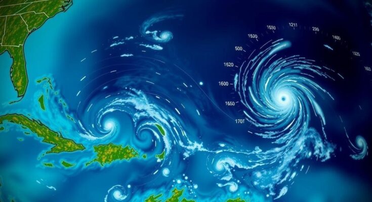
The National Hurricane Center is monitoring three tropical systems: one in the Southwestern Caribbean Sea with a 60% chance of development, a second near Puerto Rico with a 10% chance, and a third in the North Atlantic with a 20% chance. Heavy rainfall is expected across affected areas, and the next potential storm will be named Patty.
As of Thursday afternoon, the National Hurricane Center is actively monitoring three tropical systems across the Atlantic Ocean and the Caribbean. Firstly, in the Southwestern Caribbean Sea, a broad area of low pressure is anticipated to develop over the coming days, with a 60% chance of formation into a tropical depression by the weekend or early next week. Heavy rainfall is expected across regions from Nicaragua to northern Colombia regardless of further development. Secondly, a trough of low pressure located near Puerto Rico is generating significant cloudiness and showers over adjacent areas, including the Dominican Republic and the northern Leeward Islands. This system may exhibit slow development as it progresses west-northwestward and has a 10% chance of formation within the next week. Rainfall may impact areas from the northern Leeward Islands, Puerto Rico, and Hispaniola through to eastern Cuba and the southeastern Bahamas. The third area of interest lies in the North Atlantic Ocean, where a non-tropical low pressure system approximately 550 miles west of the western Azores is witnessing the growth of showers and thunderstorms. Current indications suggest only a slow development into a subtropical or tropical system, with a 20% chance of formation over the coming days. The next tropical cyclone that could be named is anticipated to be Patty.
The monitoring of tropical systems by the National Hurricane Center signifies the importance of vigilance during hurricane season, particularly in the Atlantic and Caribbean regions where storms can develop quickly. The development and tracking of tropical depressions and hurricanes frequently impact coastal communities, demanding preparedness and effective response strategies. Historical patterns show various tropical storms that have originated from regions such as the North Caribbean Sea and Southeast Gulf of Mexico, highlighting the need for continuous monitoring, especially in the autumn months when storm activity peaks. In understanding potential impacts and typical development patterns, it is essential to recognize the relationship between atmospheric pressures and storm formation, as well as the climatological history that informs forecast models. This year, the presence of multiple systems emphasizes the need for updated information and quick response planning as storms unfold.
In conclusion, the National Hurricane Center is currently observing three significant tropical systems with varying probabilities of development. The Southwestern Caribbean Sea system poses the highest likelihood of transforming into a tropical depression, while the other systems over the Northeastern Caribbean Sea and North Atlantic exhibit lower chances of becoming cyclones. Heavy rainfall is a common factor across all observed areas, warranting attention and preparedness for local populations. As the situation develops, it remains imperative for individuals and communities to stay informed regarding updates and guidance issued by meteorological authorities.
Original Source: www.news4jax.com


