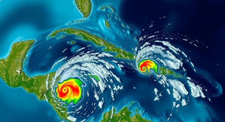
The National Hurricane Center reports an increased likelihood of a tropical depression forming in the Caribbean, specifically Invest 95L, which is forecast to impact Central America but not the US. Another system, Invest 94L, is less likely to develop further. Heavy rains are expected across regions in Central America and southern Mexico regardless of these systems’ developments.
The National Hurricane Center (NHC) reports a heightened potential for the formation of a tropical depression in the Atlantic Ocean, particularly in a system currently identified as Invest 95L, located in the northwestern Caribbean Sea. The NHC has observed that this system is linked to a broad area of low pressure, generating widespread showers and thunderstorms in the region. As stated in a recent advisory, the system is progressively becoming more organized to the north of eastern Honduras and environmental conditions are deemed favorable for additional development in the coming days. Forecasters predict a short-lived tropical depression or storm may materialize before the system moves onto land in Belize and the Yucatan Peninsula of Mexico on Saturday, with a 50 percent probability of formation within the next 48 hours. Notably, regardless of further development, the NHC warns of locally heavy rainfall impacting parts of Central America and southern Mexico over the weekend. In addition, the NHC is also monitoring another system dubbed Invest 94L, which is described as a poorly-defined trough of low pressure. This second system extends disorganized showers and thunderstorms from the northern Leeward Islands into the adjacent Atlantic waters. However, development is anticipated to be slow as it progresses westward near or just north of the Virgin Islands and Puerto Rico, followed by passage near Hispaniola and the southeastern Bahamas. The NHC has assigned a mere 10 percent chance for significant development of this system due to strong upper-level winds. Moreover, the next named storms for the season will be Nadine and Oscar.
The tropical depression formation process is critical in understanding hurricane forecasting and preparedness. The Atlantic hurricane season typically spans from June 1 to November 30, during which forecasters monitor various systems that may develop into tropical storms or hurricanes. The National Hurricane Center plays a pivotal role in tracking such weather patterns and providing timely advisories to mitigate risks associated with severe weather. The potential development of storms in regions like the Caribbean Sea poses significant implications for surrounding coastal communities, as these storms can lead to heavy rainfall, flooding, and other hazardous conditions.
In summary, the National Hurricane Center is currently tracking two systems in the Atlantic Ocean, with Invest 95L holding a 50 percent chance of developing into a tropical depression before making landfall in Central America. Meanwhile, Invest 94L is expected to undergo minimal development given unfavorable environmental conditions. It is essential for residents in the affected areas to remain vigilant as they anticipate the possibility of heavy rainfall over the upcoming weekend. The use of reliable sources, such as the NHC, is crucial in staying informed about weather developments.
Original Source: www.usatoday.com


