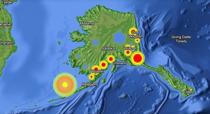
An earthquake with a magnitude of 1.2 struck near Sutton, Alaska, on November 25, 2024, at a depth of 11.3 miles. The event, unverified by seismologists, underscores the area’s seismic activity linked to various tectonic processes and geological structures.
On November 25, 2024, an earthquake measuring a magnitude of 1.2 occurred approximately 28 miles east of Sutton, Alaska, at 03:08:30 AKST. The event had a depth of 11.3 miles (18 km) and has not been reviewed by a seismologist. Its geographical context places it 36 miles east of Palmer, 43 miles east of Hatcher Pass, and 69 miles northeast of Anchorage, among other notable distances from significant towns and landmarks in the region.
The tectonic setting of Southern Alaska is notably characterized by a variety of seismic features, including the notable megathrust fault where the Pacific Plate subducts beneath the North American Plate. Historical events such as the 1964 M9.2 Great Alaska Earthquake highlight the potential for high-magnitude seismic activity in this zone. Intermediate-depth seismicity, resulting from the subduction process, occurs in the Wadati-Benioff Zone. The region also experiences crustal seismicity from several notable geological faults, which have historically produced significant earthquakes, including those in 1933 and 1984.
This minor earthquake serves as a reminder of the persistent seismic activity present in Southern Alaska, a region shaped by complex tectonic interactions. Understanding the background and geological features that contribute to these events is vital for monitoring seismic risks and developing informed safety protocols.
Original Source: earthquake.alaska.edu


