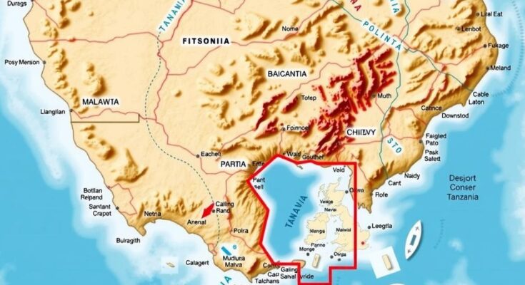
The Tanzanian Minister of Education has mandated the use of an official map that shows the border with Malawi at Lake Malawi, emphasizing that this boundary lies at the lake’s center. The directive critiques the use of Google Maps, which incorrectly depicts the lake as entirely Malawian. Government spokesperson Greson Msigwa confirmed that discussions over the lake’s border are ongoing, reaffirming the strength of relations between Tanzania and Malawi despite the territorial dispute.
The Tanzanian Minister of Education has mandated that teachers across the nation utilize an official map delineating the border with Malawi at Lake Malawi, referred to as Lake Nyasa in Tanzania, asserting that this border runs through the lake’s center rather than along its shoreline. This directive, articulated in a formal communication from the Ministry, aims to foster national identity by ensuring accurate representation of territorial claims within educational institutions.
The instruction—contained in letter PA.211/229/02/88—directs educational departments to emphasize the necessity of adhering to the official cartographic representation of their borders. The letter pointedly critiques the prevalent use of Google Maps in Malawian schools, which inaccurately portrays the entirety of Lake Malawi as belonging to Malawi. It implores teachers to educate students on the correct delineation of borders as stipulated by Tanzanian authorities, emphasizing this as part of compliance with national educational guidelines.
Government spokesperson Greson Msigwa, during a press briefing, reaffirmed that while discussions with Malawi concerning the lake’s borders remain ongoing, the bilateral relations between the two nations have not been adversely affected by this territorial dispute. He reiterated, “Discussions are still ongoing, and Tanzania maintains good relations with Malawi.”
Historically, the contention surrounding Lake Malawi borders has persisted over decades, influenced by colonial agreements and treaties, with Tanzania arguing for a central division of the lake and Malawi asserting ownership over the entire body of water based on historical accords from the 19th century. Although this disagreement has occasionally escalated tensions between the nations, it has not culminated in armed conflict.
The recent directive from the Tanzanian Ministry of Education illuminates the influence of educational content on the cultivation of national pride and sovereignty. Educators are henceforth expected to incorporate the official map into their curricula, thereby reinforcing Tanzania’s stance regarding the border issue. The hope remains that constructive dialogue will ultimately lead to a peaceful resolution of the dispute.
The border dispute surrounding Lake Malawi, or Lake Nyasa as it is known in Tanzania, is rooted in historical agreements from the colonial era. The disagreement primarily stems from differing interpretations of treaties where Tanzania asserts a central division while Malawi claims ownership of the whole lake. This conflict, which dates back decades, has led to assertions of national sovereignty by both countries, with educational systems taking an active role in depicting and teaching the official maps as part of national identity.
The Tanzanian government’s directive to utilize an official map depicting Lake Malawi as a shared resource underscores an effort to reinforce national borders and identity through education. Ongoing diplomatic discussions reflect an intention to peacefully resolve the longstanding territorial disagreements that have origins in colonial history. Both nations express optimism for a future resolution while maintaining strong diplomatic ties despite their differences.
Original Source: malawi24.com


