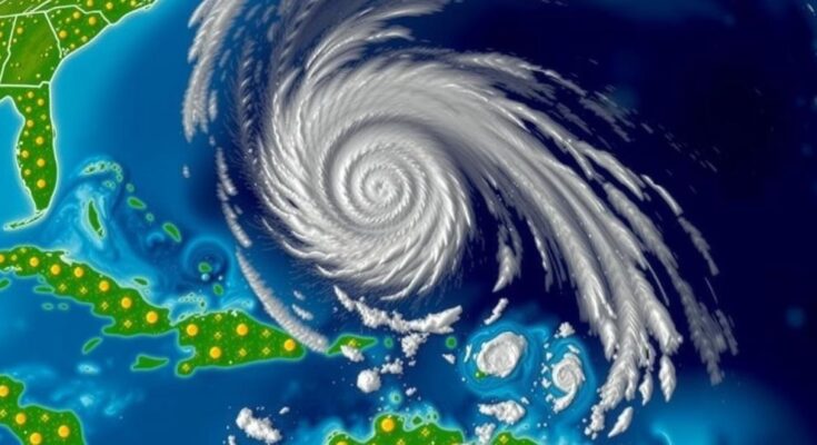
On November 8, 2024, Hurricane Rafael weakened to a tropical storm, with maximum winds of 70 mph. The storm is located 460 miles east of the Rio Grande.
On November 8, 2024, the U.S. National Hurricane Center reported that Hurricane Rafael has diminished in intensity, transitioning from a hurricane to a tropical storm. As of the latest advisory, Rafael was situated approximately 460 miles east of the Rio Grande’s mouth, with maximum sustained winds recorded at 70 mph. This notable reduction in strength marks a significant change in Rafael’s status as it continues to move farther from land.
Tropical storms and hurricanes are common weather phenomena characterized by strong winds and heavy rainfall, often leading to significant impacts on coastal communities. The National Hurricane Center (NHC) plays a crucial role in monitoring these storms, providing timely updates and warnings to help communities prepare and respond effectively. Understanding the classification and behavior of storms like Rafael is essential for assessing potential risks associated with tropical weather systems.
In summary, Hurricane Rafael has rapidly weakened into a tropical storm, as confirmed by the NHC. The storm’s maximum sustained winds have decreased to 70 mph, and it is currently located 460 miles from the Rio Grande’s mouth. Continued monitoring is essential to ensure safety as the storm progresses further into the ocean, reducing the threat to land.
Original Source: www.usnews.com


