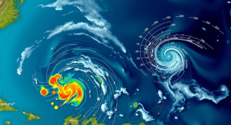
The National Hurricane Center is monitoring three disturbances in the Atlantic, with a 60% chance for a low-pressure system in the southwestern Caribbean to develop into a tropical depression, potentially named Patty. This weekend marks a critical time for monitoring, as it could influence pathways toward Central America or the Gulf Coast, while heavy rains are expected in the Caribbean regardless of development.
The National Hurricane Center (NHC) is closely monitoring three disturbances in the Atlantic Basin, with the strongest potential for development being a low-pressure system over the southwestern Caribbean Sea. This system has a 60% chance of evolving into a tropical depression by the end of the weekend or early next week, according to NHC officials. AccuWeather provides a more optimistic outlook, suggesting nearly a 90% chance of development. Forecasters are uncertain regarding the storm’s intensity and trajectory, particularly due to an area of high pressure that may form over the eastern United States. This weather pattern could steer the system towards either Central America or potentially the eastern Gulf Coast, with the latter path raising concerns for impacts during the week of November 6-11. As noted by AccuWeather Meteorologist Grady Gilman, “Should tropical development occur in the Caribbean Sea next week, there are two scenarios for movement: one toward Central America and another near the Yucatan Peninsula.” Despite unfavorable conditions in recent weeks due to high wind shear, changes are expected soon. According to AccuWeather Lead Hurricane Expert Alex DaSilva, “Next week, most of the wind shear will shift to the north of the Caribbean, and so it will basically create a pocket with high ocean temperatures, plenty of moisture and very low wind shear that will be favorable for tropical development.” In addition to the southwestern Caribbean disturbance, the NHC is tracking two other systems. One located in the northeastern Caribbean is unlikely to develop due to wind shear and is expected to dissipate after affecting areas like the Dominican Republic and Puerto Rico. The second system is a non-tropical low pressure area in the north Atlantic, also with a low chance of further development. As November progresses, the potential for tropical storms typically shifts closer to the United States, as historical data indicates that significant storm activity can occur during this late period of the Atlantic hurricane season. Currently, a tropical depression could form this weekend in the southwestern Caribbean, with the NHC indicating a 30% chance of formation within the next 48 hours, escalating to 60% over the next week. Regardless of whether these disturbances develop into named storms, heavy rainfall and potential flooding are anticipated across much of the Caribbean, affecting regions from the Leeward Islands to Haiti.
The National Hurricane Center is vigilant about weather patterns in the Atlantic Basin, particularly during the peak months of hurricane season. Each fall, the dynamics of storm formation can shift, with late-season developments often affecting land areas closer to the U.S. coast, particularly Florida. The current focus includes a significant area of low pressure expected to evolve into a tropical storm, potentially named Patty.
In summary, the Atlantic hurricane season remains active with the possibility of a new tropical storm developing in the coming week. The National Hurricane Center is tracking three disturbances, with the southwestern Caribbean system holding the highest chance of becoming a tropical depression or storm. Both forecasters and experts urge vigilance as conditions can change rapidly, significantly impacting the southeastern United States.
Original Source: www.news-journalonline.com


